Access Denied
IMPORTANT! If you’re a store owner, please make sure you have Customer accounts enabled in your Store Admin, as you have customer based locks set up with EasyLockdown app. Enable Customer Accounts

Newsletter
Categories
- All topics
- 3D modeling
- accessory
- accuracy
- Accurate Survey Data
- AEC
- aerial
- affordable
- Agents of Discovery
- analysis
- Apglos Survey Wizard
- APRIL2024
- ArcGIS
- architecture
- As-built
- AUG2023
- aviation
- awareness
- Bad Elf
- Bad Elf GPS
- base
- base/rover
- Bluetooth
- breaks
- buffer
- Christmas
- community
- Compliance
- Conference
- constellations
- construction
- construction professionals
- consultation
- coordinate systems
- Cost Effective Surveying
- Cost Savings
- Custom GIS Solutions
- Custom Integration
- data collection
- datum
- DEC2023
- Digital Asset Mapping
- Dinosaur fossils
- Drone
- drones
- Education
- Efficient Land Surveys
- enablement
- engineering
- Esri
- Extreme Accuracy
- fatalities
- FEB2024
- Field Maps
- field workers
- Flex
- Flex Mini
- Fossil location
- frequency
- GCP
- GCT
- Geodesy
- geography
- geomatics
- geoprocessing
- geospatial
- Geospatial Data
- Geospatial Enablement Team
- GET
- gis
- GIS Training
- GNSS
- GPS
- GPS data collection
- GPS Integration
- ground control
- ground control targets
- Ground Penetrating Radar
- hazards
- High Precision Survey
- high-accuracy
- injuries
- JAN2024
- jingle bells
- JULY2023
- JUNE2023
- land surveying
- land surveyors
- Laser
- LiDAR
- Mapping
- MARCH2024
- math
- MAY2023
- NAD27
- NAD83
- NATRF2022
- Newsletter
- NMEA
- NOV2023
- oct2023
- Operations Optimization
- Paleontological fieldwork
- Paleontology
- planes
- planning
- portable
- PPE
- Precise Mapping
- prevention
- radio
- Rangefinder
- real-time data collection
- remote data collection
- rover
- RTK
- Safety
- Safety Optimization
- safety tips
- SDK
- SEPT2023
- Sign Management Solution
- signals
- solutions
- song
- Stratigraphy
- support
- survey-grade
- Surveying Technology
- total stations
- training
- Tree Inventory
- Tree Management Solution
- User Friendly Survey App
- utility design
- UTM
- WGS-84
- workplace safety
-
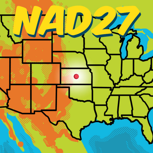

NAD27 - We’re Not in Kansas Anymore
 Embark on a geodetic odyssey from the heart of Kansas to the cutting-edge of mapping technology. Discover the saga of NAD27, a foundational datum born from meticulous triangulation and an unassuming point in Meades Ranch, Kansas. Witness its evolution into NAD83, enhancing precision with advanced ellipsoids and satellite data, and anticipate the future with the upcoming NATRF2022.


Invalid password
Enter
Use left/right arrows to navigate the slideshow or swipe left/right if using a mobile device