Access Denied
IMPORTANT! If you’re a store owner, please make sure you have Customer accounts enabled in your Store Admin, as you have customer based locks set up with EasyLockdown app. Enable Customer Accounts

Newsletter
Categories
- All topics
- 3D modeling
- accessory
- accuracy
- Accurate Survey Data
- AEC
- aerial
- affordable
- Agents of Discovery
- analysis
- Apglos Survey Wizard
- APRIL2024
- ArcGIS
- architecture
- As-built
- AUG2023
- aviation
- awareness
- Bad Elf
- Bad Elf GPS
- base
- base/rover
- Bluetooth
- breaks
- buffer
- Christmas
- community
- Compliance
- Conference
- constellations
- construction
- construction professionals
- consultation
- coordinate systems
- Cost Effective Surveying
- Cost Savings
- Custom GIS Solutions
- Custom Integration
- data collection
- datum
- DEC2023
- Digital Asset Mapping
- Dinosaur fossils
- Drone
- drones
- Education
- Efficient Land Surveys
- enablement
- engineering
- Esri
- Extreme Accuracy
- fatalities
- FEB2024
- Field Maps
- field workers
- Flex
- Flex Mini
- Fossil location
- frequency
- GCP
- GCT
- Geodesy
- geography
- geomatics
- geoprocessing
- geospatial
- Geospatial Data
- Geospatial Enablement Team
- GET
- gis
- GIS Training
- GNSS
- GPS
- GPS data collection
- GPS Integration
- ground control
- ground control targets
- Ground Penetrating Radar
- hazards
- High Precision Survey
- high-accuracy
- injuries
- JAN2024
- jingle bells
- JULY2023
- JUNE2023
- land surveying
- land surveyors
- Laser
- LiDAR
- Mapping
- MARCH2024
- math
- MAY2023
- NAD27
- NAD83
- NATRF2022
- Newsletter
- NMEA
- NOV2023
- oct2023
- Operations Optimization
- Paleontological fieldwork
- Paleontology
- planes
- planning
- portable
- PPE
- Precise Mapping
- prevention
- radio
- Rangefinder
- real-time data collection
- remote data collection
- rover
- RTK
- Safety
- Safety Optimization
- safety tips
- SDK
- SEPT2023
- Sign Management Solution
- signals
- solutions
- song
- Stratigraphy
- support
- survey-grade
- Surveying Technology
- total stations
- training
- Tree Inventory
- Tree Management Solution
- User Friendly Survey App
- utility design
- UTM
- WGS-84
- workplace safety
-

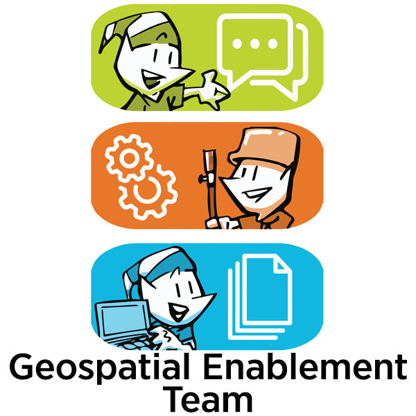
Geospatial Enablement Team (GET)

Bad Elf is the premier geospatial enablement organization. Whether you need immediate support launching a digital, geospatial systems of record or you just need the best low-cost, high-accuracy GPS on the market, Bad Elf is here for you. Contact the Geospatial Enablement Team today.
-


We Came, We Saw, We Heard, We Conquered
The 2023 Esri User Conference was a great success for Bad Elf LLC. We met with many customers and partners, learned about the latest trends in GIS technology, and came away with a lot of new ideas. We look forward to attending again next year. -


Don't Miss the Epic Bad Elf Booth at the Esri User Conference!
Hey there, fellow geospatial enthusiasts! If you're using Bad Elf GPS and Esri GIS software, we've got something extraordinary in store for you at the Esri Users Conference. Prepare yourself for a unique, funny, and downright awesome experience that you won't find anywhere else. -


Laser Offsets
Using high-accuracy Bad Elf GPS integrated with a laser offset rangefinder is an exceptional method for collecting remote data due to several key advantages. -
March 2023 Newsletter - HERE, HERE!
In this newsletter we cover topics that include
- Datums
- Custom Esri ArcGIS Fields for Field Maps and QuickCapture
- Bad Elf Ortho Everywhere tool
- Tilt filtered points
-
January 2023 Newsletter - HERE, HERE!
Bad Elf now offers the ability to record the correct elevation in both the attribute table and geometry of ArcGIS Online features through a simple workflow.


Invalid password
Enter
Use left/right arrows to navigate the slideshow or swipe left/right if using a mobile device